Working towards a Peat Data Standard
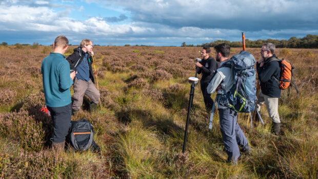
By Mike Prince, Natural England The England Peat Map project is mapping the extent, depth and condition of England’s peat, using new and existing field survey data, satellite Earth observation, and a variety of modelling methods. Mapping England’s peat can …
Recent Comments