By Elizabeth Mitchell, senior officer for engagement and impact, and Chris Burstow, geospatial principal officer, both Natural Capital and Ecosystem Assessment programme Where in England could nature do best, and how can we help wildlife move between habitats? Natural England's …
By Sofía Muñoz and Scott Mitchell, Senior Specialists for Data Engagement and Analysis, Natural Capital and Ecosystem Assessment Programme This blog explains what Local Wildlife Sites (LWS) are, why they matter, and the importance of the new online hub where …
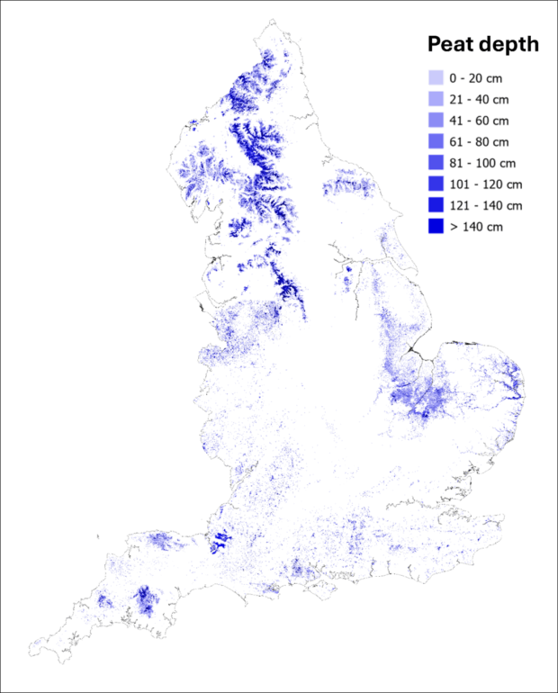
By Dr Ruth Waters, Director for Evidence, Natural England, and David Jones, Senior Responsible Officer for the Natural Capital and Ecosystem Assessment, Defra England’s peat deposits are one of our most valuable national assets. They’re our largest carbon store, they …
By Gabriella Fasoli and Nick Tomline (AI specialists), Emma Milner (marine mammal specialist) and Elizabeth Mitchell (engagement), all on the marine Natural Capital and Ecosystem Assessment (mNCEA) programme Documenting Norfolk's biggest beach party On a windy day in December, something …
Martin Moss, senior officer for green infrastructure mapping, and Sarah Parrott, higher officer for engagement and impact If you looked at a map of your local area, could you identify the accessible green spaces? What about the blue ones? If …
Related content and links
Stories and updates from Natural England
We’re the government’s adviser for the natural environment, helping to protect England’s nature and landscapes for people to enjoy.

Recent Comments