How many mussels in Morecambe Bay? Understanding the value of mudflats and sandflats for birds, humans, and the ecosystems we share
Posted by:
Elizabeth Mitchell and Louise Whatley, Posted on:
-
Categories:
Marine environment, Monitoring, Natural England
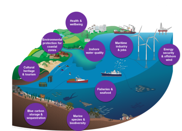
By Louise Whatley, Marine Ecology Specialist and Elizabeth Mitchell, Senior Advisor for Engagement and Impact As summer sets in in earnest, millions of us will head to the coast. In between dropping our ice-creams on our feet and taking a …

Recent Comments