By Sarah Hammonds, Urban Greening Senior Officer This blog discusses the launch of two new tools: the Index of Multiple Environmental Deprivation (IMED) and the Environmental Equity Index (EEI). Built collaboratively over 18 months, they map environmental pressures and health …
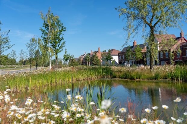
By Martin Moss, Senior Officer - Green Infrastructure Mapping Team As recognition grows of the importance of nature to our health and wellbeing, understanding green infrastructure provision is vital to ensuring everyone can benefit from nature wherever they live. Natural …
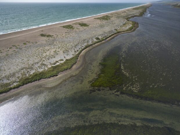
By Gabriella Fasoli and Nick Tomline (AI specialists), Emma Milner (marine mammal specialist) and Elizabeth Mitchell (engagement), all on the marine Natural Capital and Ecosystem Assessment (mNCEA) programme Documenting Norfolk's biggest beach party On a windy day in December, something …
It’s two years since Natural England launched the Green Infrastructure (GI) Framework to support the creation of good quality Green Infrastructure. It’s well documented that we need to build a more sustainable future, and at the forefront of this movement …
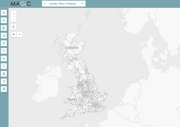
What is MAGIC? The ‘Multi-Agency Geographic Information for the Countryside’ (MAGIC) service has been around since 2002. The MAGIC website provides geographic information about the natural environment from across government. The information covers rural, urban, coastal and marine environments across …
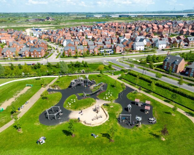
Martin Moss, senior officer for green infrastructure mapping, and Sarah Parrott, higher officer for engagement and impact If you looked at a map of your local area, could you identify the accessible green spaces? What about the blue ones? If …
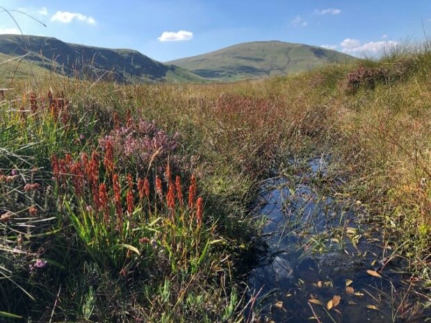
Contributors: Andrew Webb, Principal advisor, England Peat Map. Tom Hunt, Data engagement lead, England Peat Map. Sarah Parrott, Engagement and impact lead advisor, NCEA. Elizabeth Mitchell, Engagement and impact senior advisor, NCEA How do you make a map of something that’s largely underground, …
By Sarah Middlehurst, Senior Officer, Natural England Today sees the launch of a new tool that will help local planning authorities (LPAs) decide when to consult Natural England on planning applications that might impact a SSSI. The new and improved …
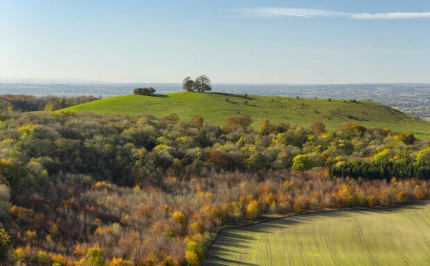
The UK Government’s ambition to increase tree and woodland cover in England from 14 to 17%, by more than trebling annual planting rates by 2050, represents a major shift in land use policy. As well as enhancing carbon sequestration, new …
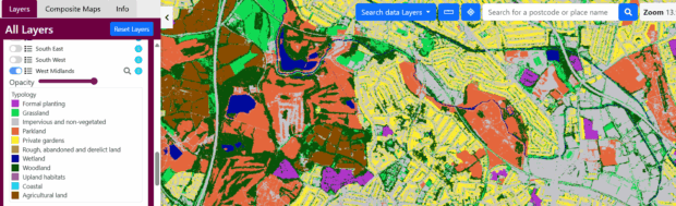
By Alexandra Kilcoyne, Amy Woodget, Anne Stefaniak, Miles Clement, Chris Moore, Sophie Potter and Becky Trippier A new map that shows the extent and distribution of habitats in England has been launched on 5 April 2022. This probability map, which …
Related content and links
Stories and updates from Natural England
We’re the government’s adviser for the natural environment, helping to protect England’s nature and landscapes for people to enjoy.


Recent Comments